Maps
Posted: Tue Mar 05, 2024 7:28 pm
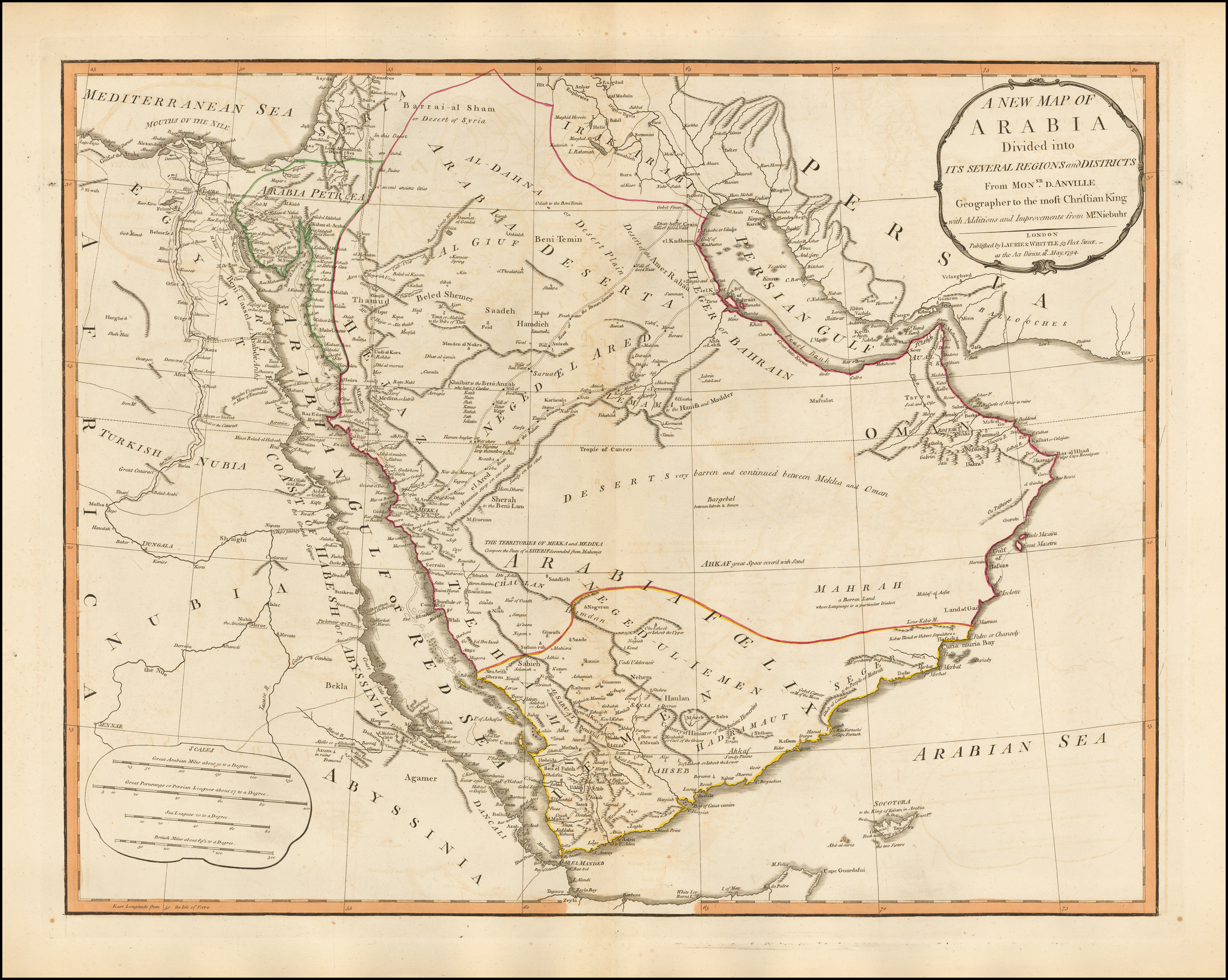
And so, Vogel does provide an interesting perspective of a map that Smith may or may have not perused. We cannot say. However, shall we look at a sister map of the one we have considered in this thread? It's by the same map maker, Laurie & Whittle, and was issued out of London during the same year, 1794. Zoom in to Delmarva and note the green shading used to designate boundaries and pay close mind to the narrow neck. What do you see? Two rivers flank the narrow neck of land! The Susquehanna and Delaware rivers!!
You can be sure that *if* Joseph Smith had viewed the Arabian map suggested by Vogel, he would have also viewed the North America map and would have paid close attention to his own neck of the woods -- from New York to the coast. And we can clearly see that the rivers are positively identifiable for what they are and the bays are what they are.
Zoom in and see for yourself, there is no mistaking what a river looks like on maps produced by Laurie & Whittle in 1794:
A New Map of North America
I have to conclude that Vogel's theory does not hold water. Sorry, Dan.
